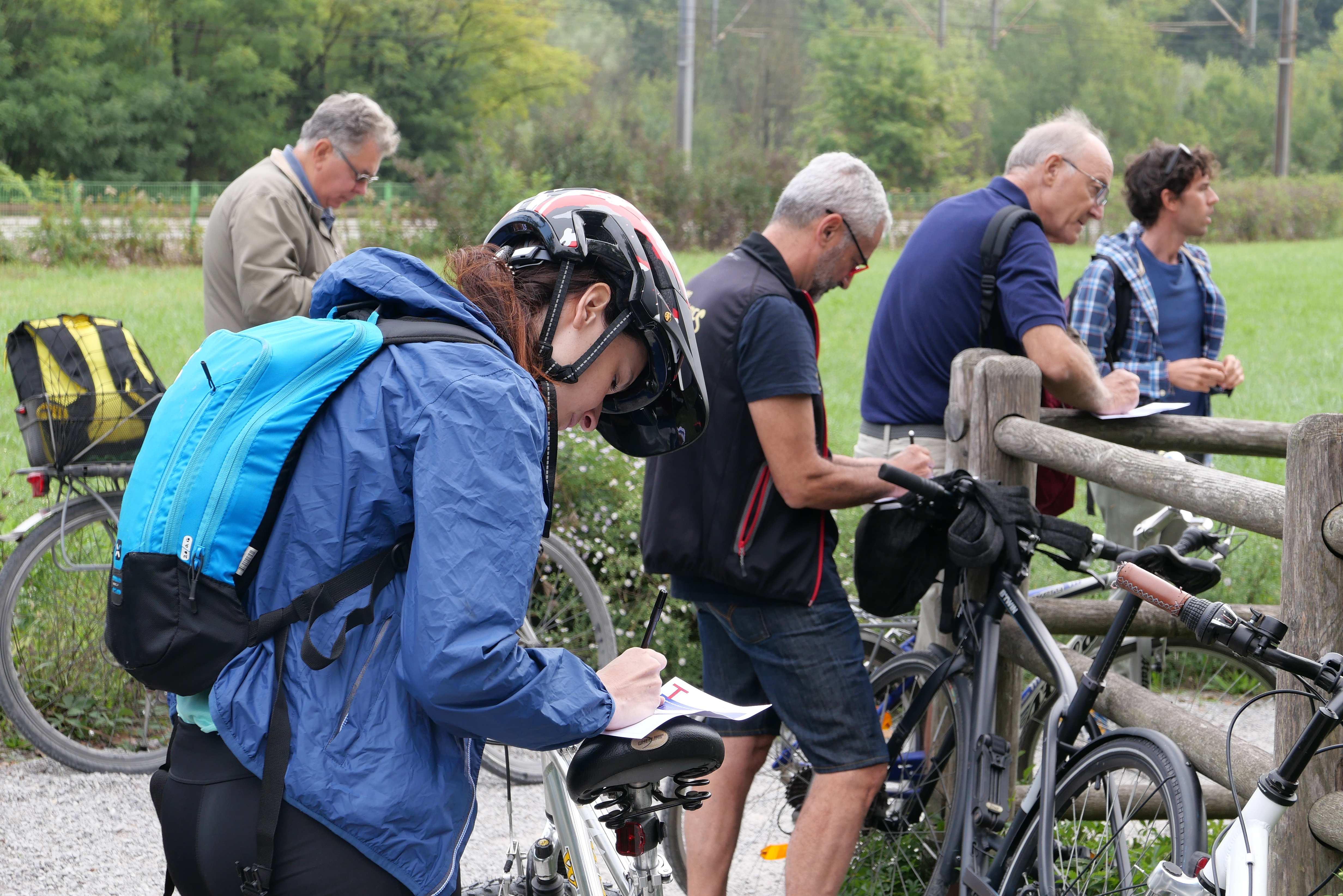
This activity aimed at building a shared, alternative mapping of MIND, involving storytelling and community perspectives about perception and subjective attractiveness of green areas, new uses, accessibility, and wilderness. Perception by different stakeholders and target groups is especially meaningful when researching in an area where there are not yet communities on site and the masterplan is changing fast. A community walk and bike ride provided various insights and contributed to start a process of engaging surrounding communities.
Some discoveries
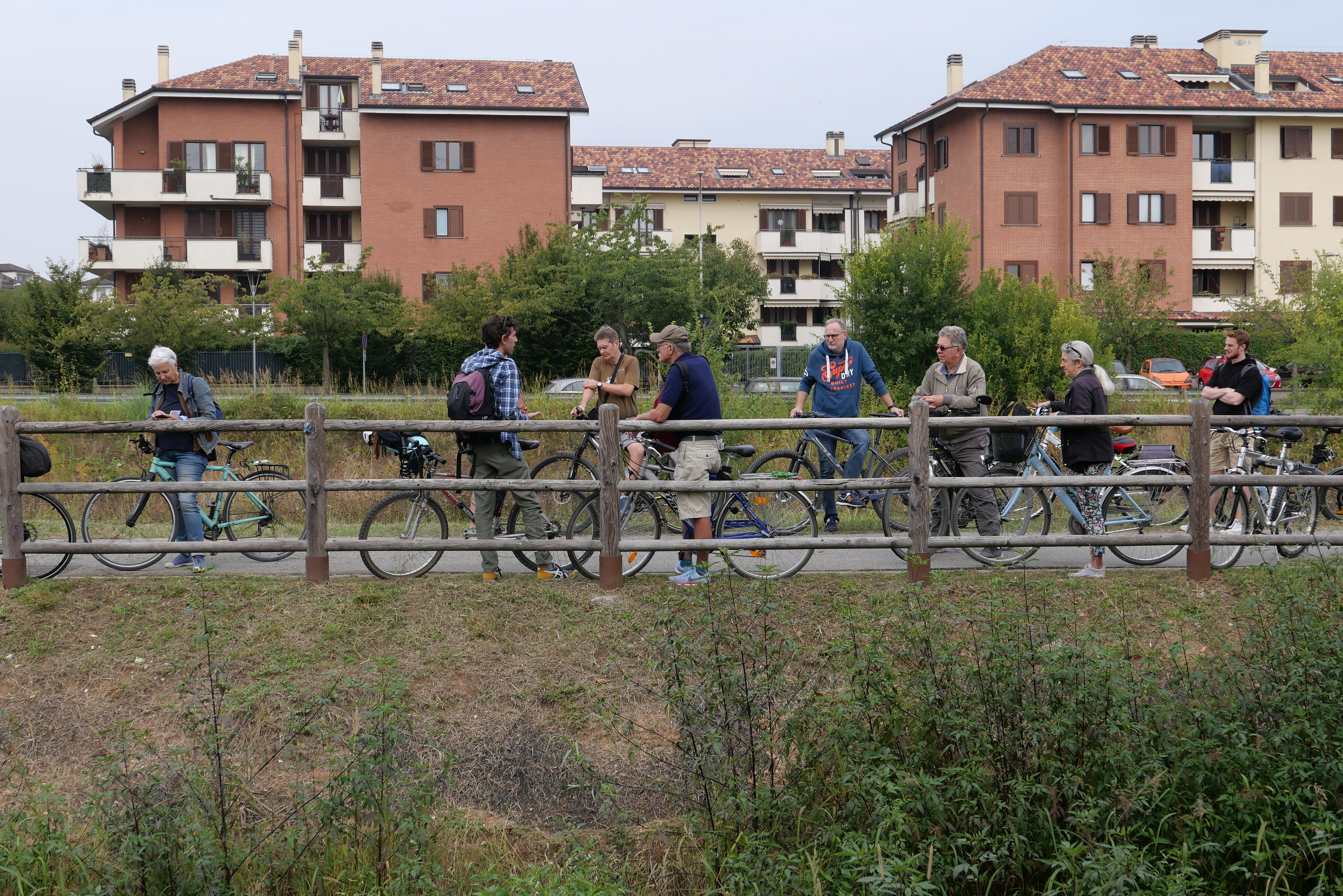
MIND is perceived as a difficult area to reach by foot or bike. The purpose of this activity is generating awareness among the neighbouring municipalities regarding the accessibility to the MIND area. The challenge is to perceive and understand the complexity and richness of that territory, exploring 'hot' topics especially about the relation between nature and infrastructure. The objective is to collect impressions, key words, emotions, and feelings of first “pioneers” reaching MIND by foot and bike in order to include multiple perspectives beyond ‘usual suspects’; this data will be expressed in an alternative mapping designed by LAND and used as a community-building tool and as a compass to orienteer possible meanwhile uses on the area.
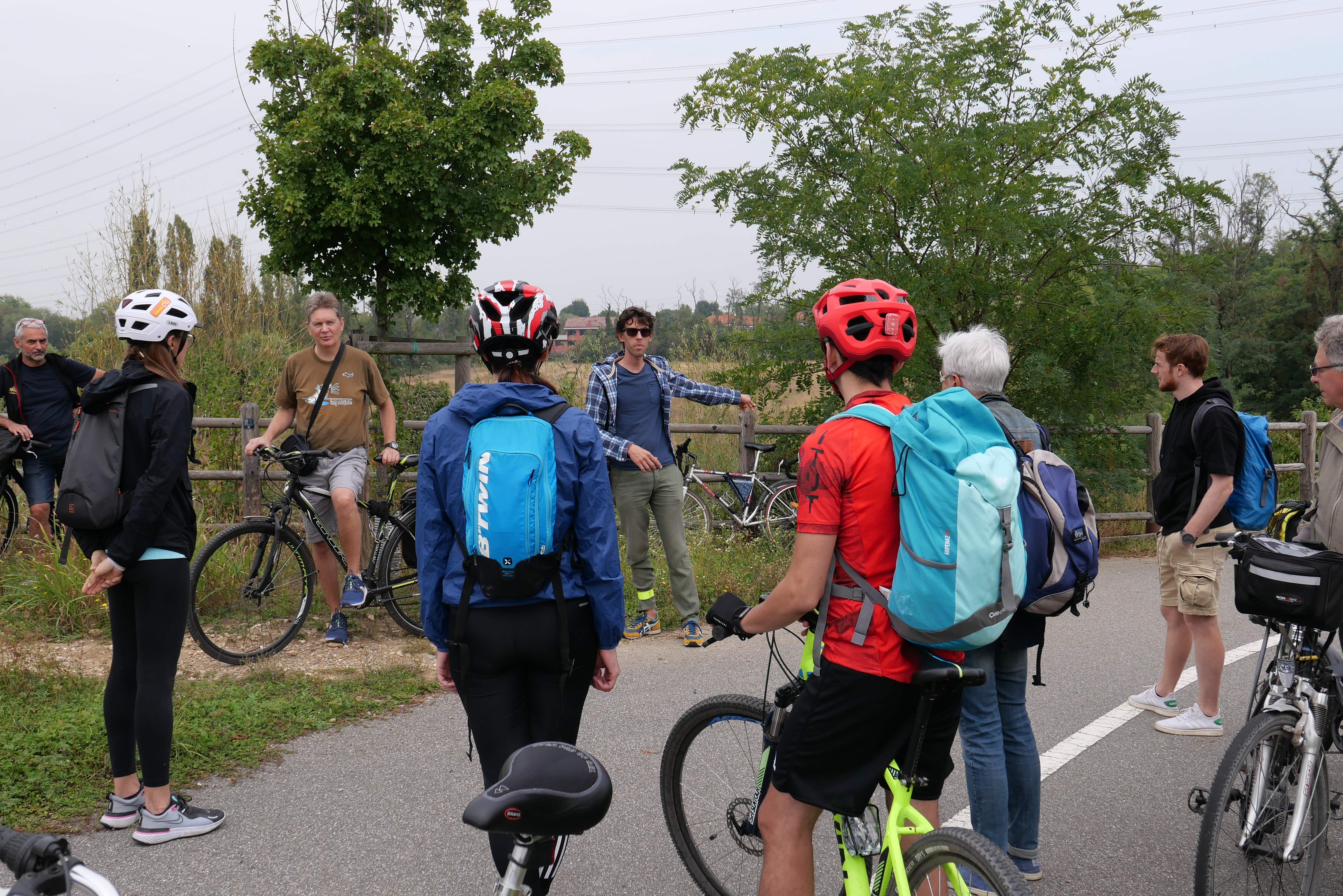
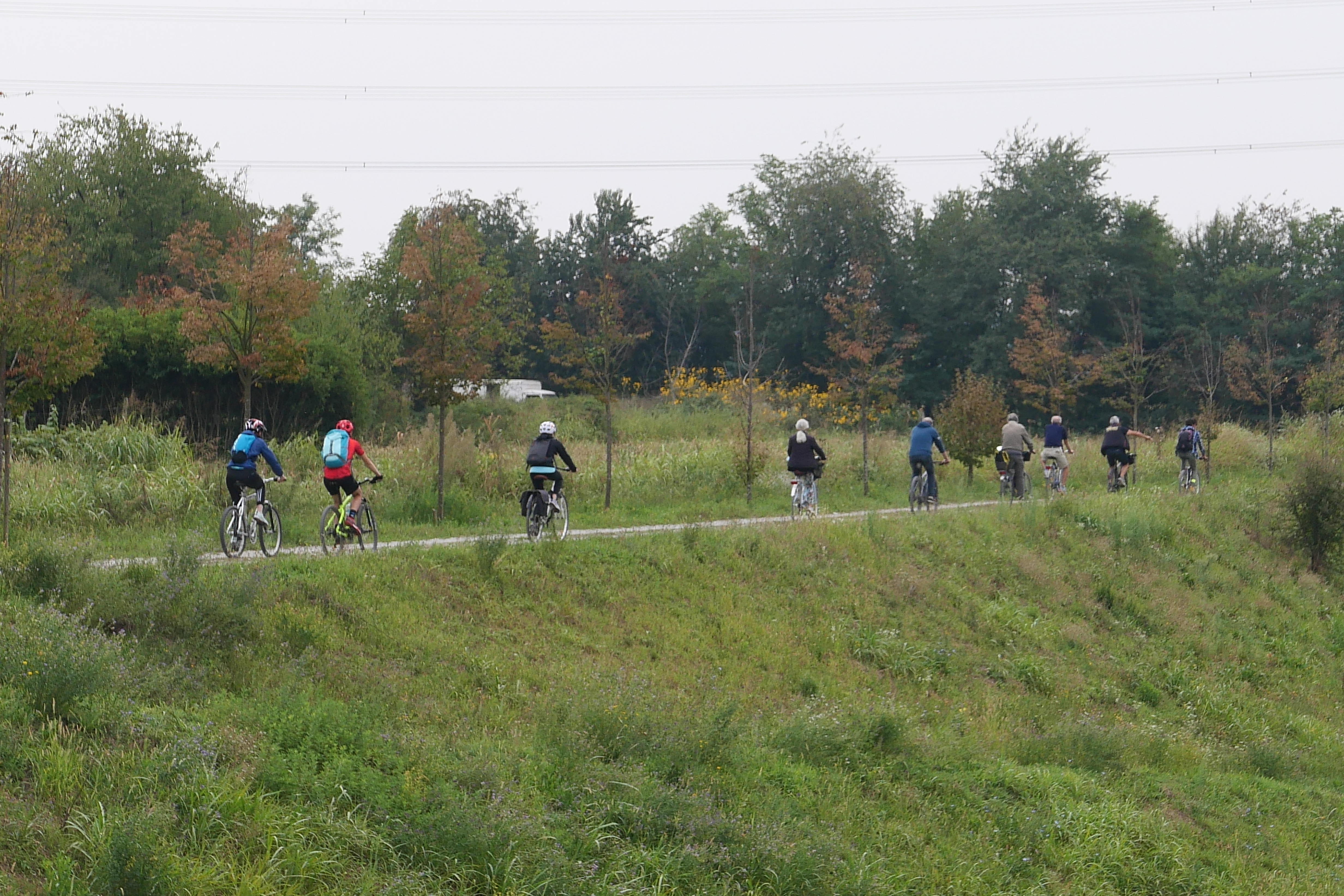
Both a walk from the city of Rho and a bike ride mainly along the so-called ‘LET 1 e Via d’acqua’ from Garbagnate have been implemented. Walking methodologies help participants to become more aware about places. These methods also strengthen the interpersonal and relational aspects between participants, while helping researchers to better understand citizens’ experience by collecting more information rather than with an interview. A series of stops (stations) and small tasks have been planned according to highlights and important elements to give the group the time to reflect and acknowledge specific topics and to write them on cards. Impressions, information, expectations, feelings, visions and needs collected during the walk/ride are being represented in the alternative mapping outputs, consisting of:
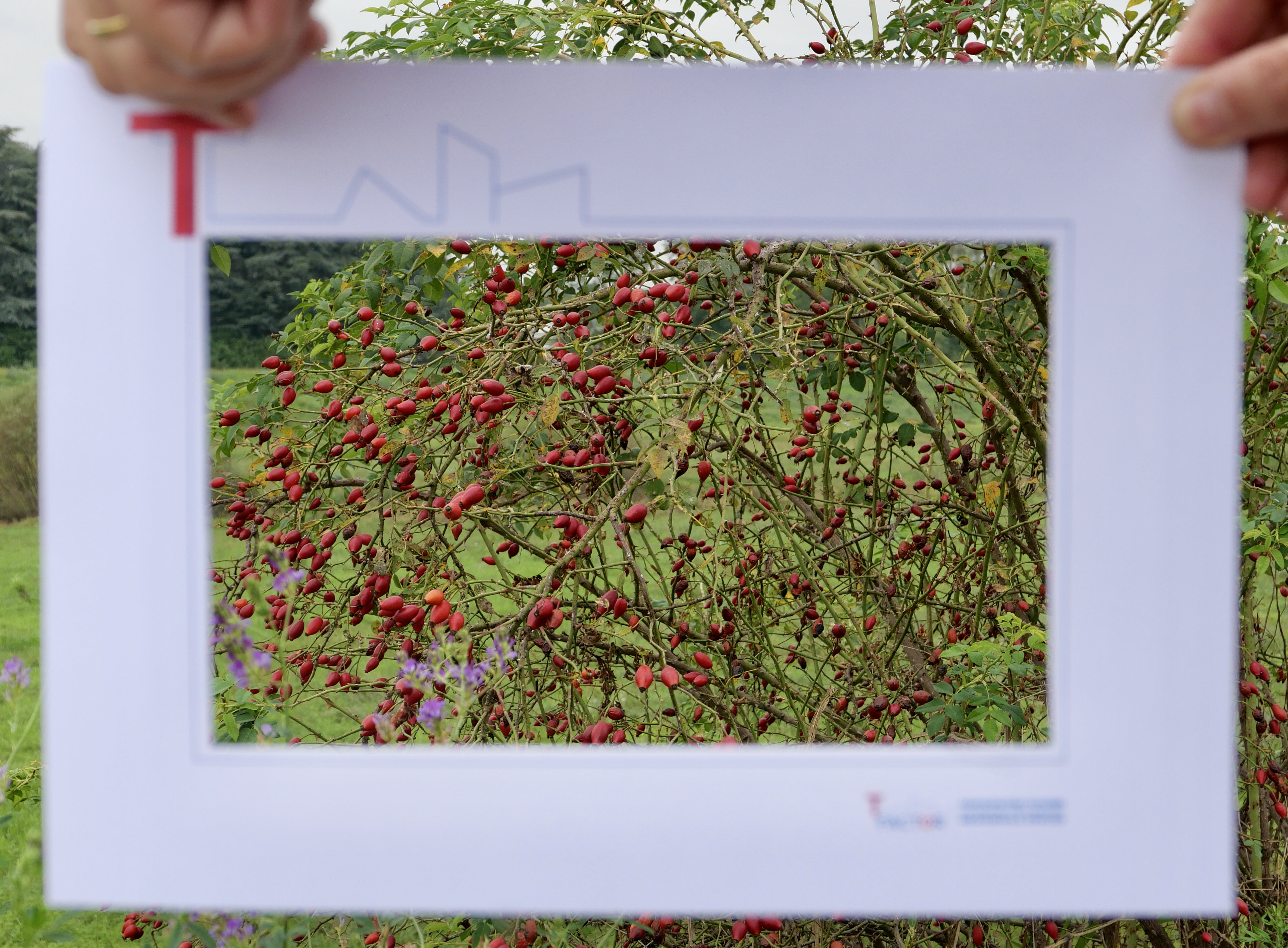
- “Placemaking compass”, a visual tool recording the routes, and all the highlights raised by participants for each stop during the walk and ride. All collected data have been processed by clustering them under relevant topics.
- Development of an alternative map through the different perspectives of the site from non-mainstreaming stakeholders, which will work as an open canvas informing the possible definition of an online open source platform to be developed during the next stages of TLabs’ activities.
- The activity revealed a high historical value of the path and of the landscape to access MIND and especially the potential of valorizing the memory of the place. Many participants acknowledge the importance of knowing the history in order to better understand the landscape and reading the territory in another way.
- Some participants found it very interesting exploring an urban landscape and going in depth on the relation between nature and infrastructure, showing good capabilities of using all the 5 senses to perceive and describe the landscape. This capability can be very important in peer-to-peer education.
- A challenge has surely been to walk through and to look at the “bad” or “hugly” parts of the path. Many statements are addressing the topic with a complaining approach. Some of them are, instead, seeing in these areas a potential and writing vision-oriented statements.
- Another challenge is the Decumano, defined by participants as a “white canvas” for new public open spaces: concrete, space and huge dimensions are ingredients for thinking of something new.
- The urban ride provides less statements belonging to the cluster “vision”, so it was not possible to order some suggestions in the 3 time horizons. This is linked to the speed of the movement: by cycling our brain is less stimulated than by walking in seeing details or exploring the place itself, because cycling is the main action, and the landscape is perceived more as a whole.
- Networking and territorial cooperation - The activity was a networking opportunity for some stakeholders, showing interest in proposing the same activity for their own community (e.g. Fondazione Housing Sociale) or in proposing new collaborations like some Municipalities or other institutional actors joining specific projects on historical topics (E-Pic Land Project financed by Regional government).
- Suggestion of meanwhile uses - The successful reception by participants showed that urban walks and rides can be a good option of meanwhile use in the future.
- Awareness of places - Citizens have been motivated to learn more about landscape potential in their area and informed about preferred accessibility routes to get to MIND; moreover MIND’s stakeholders have become aware of the strengths and weaknesses of local communities by direct experience of their everyday places.
- Engagement of stakeholders - The landscape perception and active participation revealed an effective approach to make people think about their relation with nature and urban open spaces and attract them to regeneration areas and topics.
LAND created the concept of participative site visits, providing methods and tools for people engagement, took care of inviting participants through local associations and public stakeholders within its network.
Lendlease was involved in the organization to provide access on the site and took part to the activity. Participants were invited to co-guide the visit themselves to empower their knowledge of places.
- Accessibility & Identity
Alternative Mapping Tool
Map out feelings, perceptions and values that different publics attribute to public and green spaces